
Services / Mapping & Progress
Construction Mapping & Progress Monitoring
RTK-accurate orthomosaics, 3D models, stockpile volumes and scheduled repeat flights that show exactly how your site is changing.
FAAPart 107 Certified
VeteranOwned & Operated
RTK / PPKCentimeter-Level Accuracy
ServingAL · GA · TN · MS
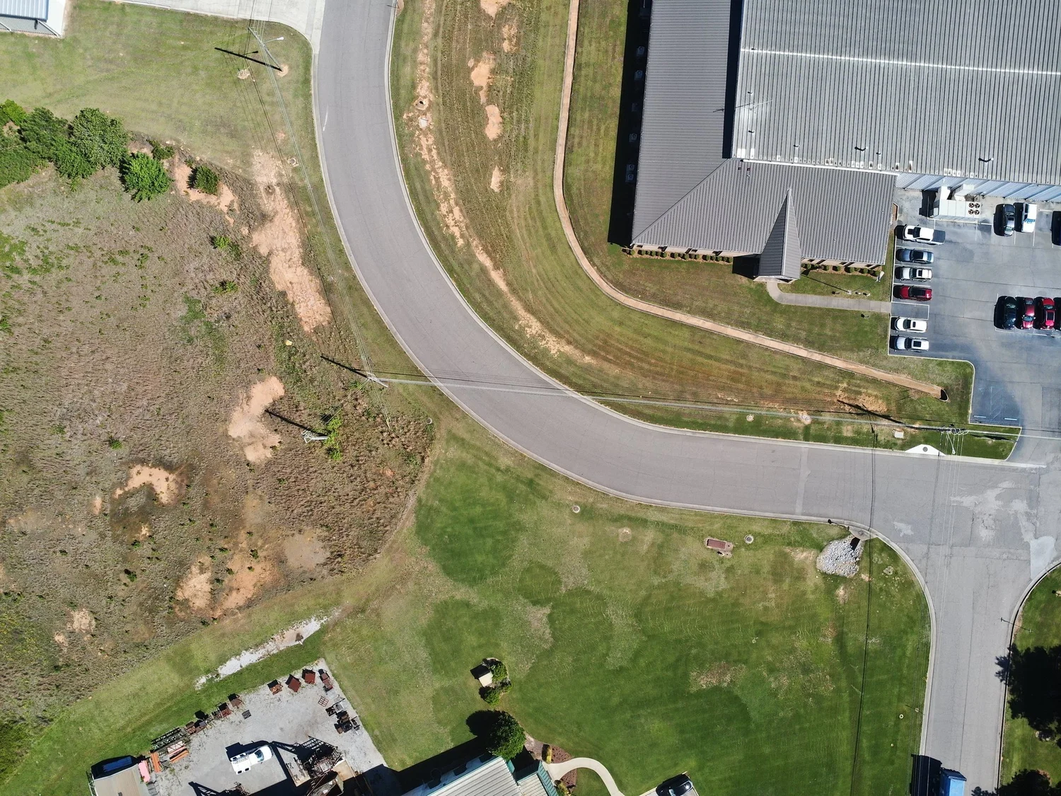
Industrial site overview from a mapping flight.
Overview
One Accurate Picture of the Whole Site
A drone map gives owners, superintendents and engineers the same up-to-date view of the job. Scheduled repeat flights turn that view into a timeline you can compare week to week.
Flights are tied to RTK corrections and checked for accuracy, so measurements, volumes and overlays hold up.
- High-resolution orthomosaic maps
- 3D models and elevation surfaces
- Stockpile and earthwork volumes
- Weekly, biweekly or monthly progress flights
How it works
How We Work
Plan
Boundary, schedule and deliverables set for the project.
Fly
Repeatable RTK-positioned flight plans every visit.
Process
Maps, models and volumes built in DJI Terra.
Share
Files and links delivered to your whole team.
Deliverables
What You Receive
Get a Quote for Your Site
Send us the address, size and timeline and we will reply with a scope, schedule and price.