
LiDAR Data Capture
Drone LiDAR acquisition as a data-capture subcontractor for engineering, land and geospatial firms. You set the control; we fly the site and deliver clean data.
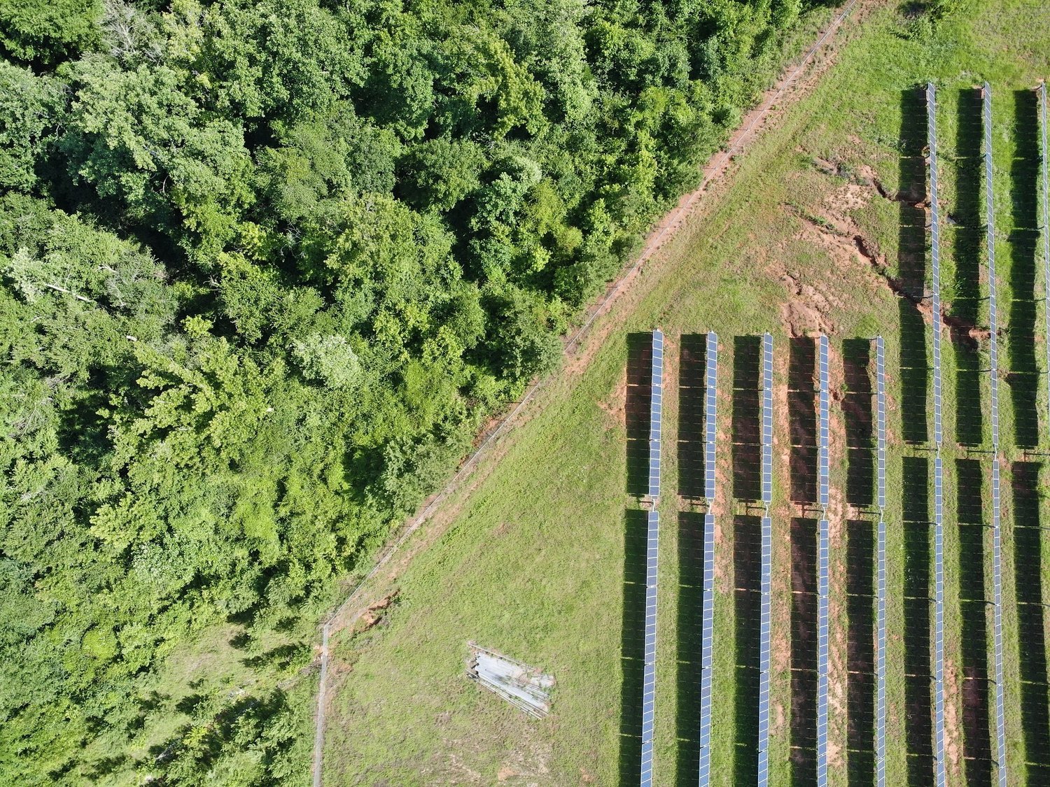
Clean Data Tied to Your Control
Iron Sight Imagery works as a data-capture partner for licensed professionals. You provide the control and coordinate system; we fly the site and deliver ground-classified data ready for your team to use.
Typical deliverables are ready within about one week of field collection, assuming control is available and weather and airspace allow.
- Ground-classified point clouds (.LAS)
- 1-ft contours (.DXF) and orthomosaic imagery
- Your coordinate system, e.g. Alabama East NAD83, NAVD88, US Feet
- Formats ready for Civil 3D
How We Work
Scope
Boundary, acreage, vegetation and coordinate system confirmed.
Control
You set control and provide coordinates and check shots.
Capture
LiDAR and imagery flown with RTK and PPK positioning.
Deliver
Classified data aligned to your control and checked.
What You Receive
Get a Quote for Your Site
Send us the address, size and timeline and we will reply with a scope, schedule and price.