
Construction Progress Imagery
Scheduled aerial photos, video and site overview imagery that show how your job is changing from one visit to the next.
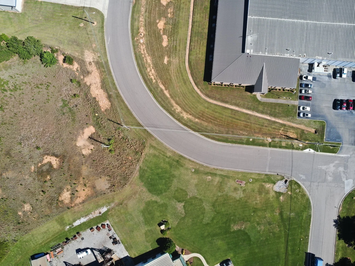
One Clear Picture of the Whole Site
Aerial imagery gives owners, superintendents and lenders the same up-to-date view of the job. Repeat flights from the same vantage points turn that view into a visual timeline you can compare week to week.
Imagery is for visual documentation. Measurements, quantities and design data stay with your licensed surveyor or engineer.
- High-resolution aerial photos from consistent vantage points
- Stitched site overview images
- Aerial video flyovers
- Weekly, biweekly or monthly progress flights
How We Work
Plan
Boundary, schedule and deliverables set for the project.
Fly
Repeatable flight plans from the same vantage points every visit.
Organize
Photos, overviews and video labeled by date and area.
Share
Files and links delivered to your whole team.
What You Receive
Get a Quote for Your Site
Send us the address, size and timeline and we will reply with a scope, schedule and price.